Datasets

A catalogue of all available environmental and ecological layers

Climate Datasets

Explore the high-resolution climate covariates currently integrated within the PhyloCov extraction platform. These layers provide crucial data on temperature, precipitation, and humidity for your models.

ERA5 Temperature Map
Climate / Atmosphere

ERA5 Daily Aggregates

Bands: Temperature, Precipitation, Humidity
Resolution: 27830 meters
Source: ECMWF / Copernicus

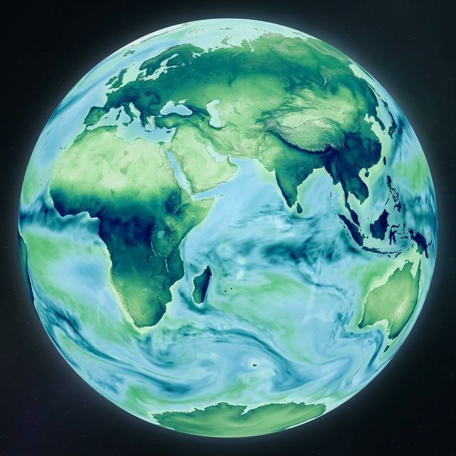
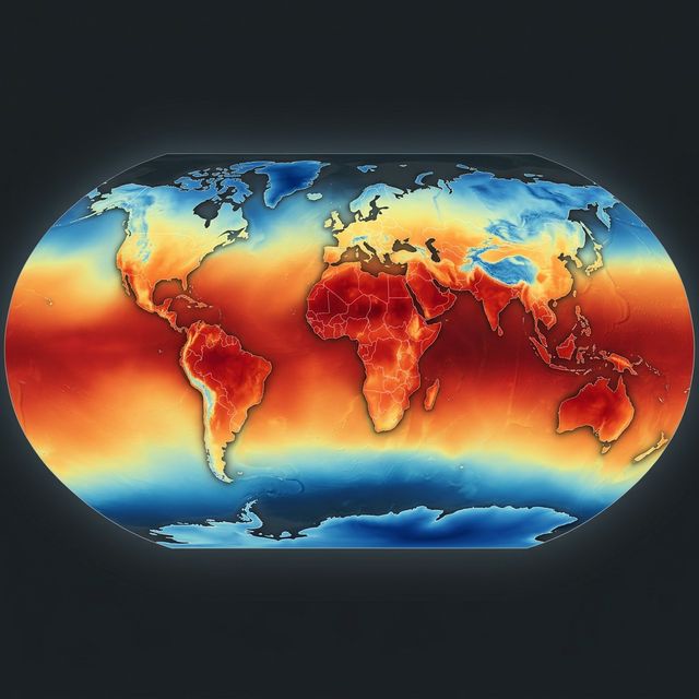
ERA5 is the fifth generation ECMWF reanalysis. It provides hourly estimates of a large number of atmospheric, land and oceanic climate variables. This dataset is aggregated to daily resolutions within PhyloCov.

View in GEE Catalog ↗
CHIRP Precipitation Map
Climate / Precipitation

CHIRPS Daily Precipitation

Bands: Precipitation
Resolution: 5566 meters
Source: UCSB / CHC

Climate Hazards Group InfraRed Precipitation with Station data (CHIRPS) is a 30+ year quasi-global rainfall dataset. It incorporates satellite imagery with in-situ station data to create gridded rainfall time series.

View in GEE Catalog ↗